This page was translated by an AI (LLM) with a cursory human check and is awaiting full review.
Getting to IDRIS
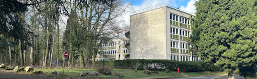
The Institute is located 25 km southwest of Paris, on the campus of
the University of Paris-Saclay in Orsay, Essonne (91).
Google Maps and Waze know IDRIS, simply enter "IDRIS Orsay".
GPS coordinates of IDRIS: E 2° 10' 31'' - N 48° 42' 23'' (or
E 2.17554° - N 48.70653°)
Postal address:
IDRIS-CNRS
Rue John Von Neumann
Building 506
BP 167
91403 ORSAY CEDEX
By public transport
- RER B:
Several buses connect IDRIS to the different RER B stations:
- Massy-Palaiseau: Lines 4606 or 5154, stop Université Paris-Saclay (then 5/10 min walk)
- Le Guichet: Lines 4606, 4609, and 9105, stop Université Paris-Saclay (then 5/10 min walk)
- Orsay Ville: Line 4607, stop De Broglie (right in front of IDRIS). Note: Line does not run during school holidays.
- Gif-sur-Yvette and Chevry: Line 4611, stop De Broglie
From the RER B station Le Guichet, you can walk to IDRIS (significant elevation): map
-
RER C:
-
Massy-Palaiseau: Lines 4606 or 5154, stop Université Paris-Saclay (then 5/10 min walk)
-
Line V:
Jouy-en-Josas station: Line 4609 or 6132+4609 (change at Campus HEC), stop Université Paris-Saclay. (then 5/10 min walk)
For timetables, visit the Iledefrance-mobilités RATP website
By car
Google Maps and Waze know IDRIS, simply enter "IDRIS Orsay".
GPS coordinates of IDRIS: E 2° 10' 31'' - N 48° 42' 23'' (or
E 2.17554° - N 48.70653°)
Real-time traffic in the Paris region
By plane
Orly Airport
Two possible routes:
- Line 91-10: stop Université Paris-Saclay. IDRIS is a 10 minute walk following rue Joliot-Curie, then rue Louis de Broglie.
- Automatic metro ORLYVAL, Antony station, then RER B, direction St-Rémy-les-Chevreuse. Follow the previous instructions for public transport.
Charles de Gaulle Airport
RER B, direction St-Rémy-les-Chevreuse. Then follow the previous instructions for public transport.